Isla San Martin
This is a set of pages about a kayaking trip made to Isla San Martin off the coast of Baja California in the fall of 1993 with my friends Rocky and Tracy
Overview Map
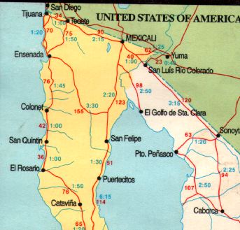
Isla San Martin is a volcanic island located about 6 miles off the coast of San Quintin. The island offers an excellent campsight and dramatic paddling off the cliffs on the west side. It is uninhabited exept by sea lions and, seasonally, by several fisherman
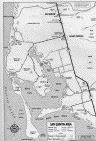
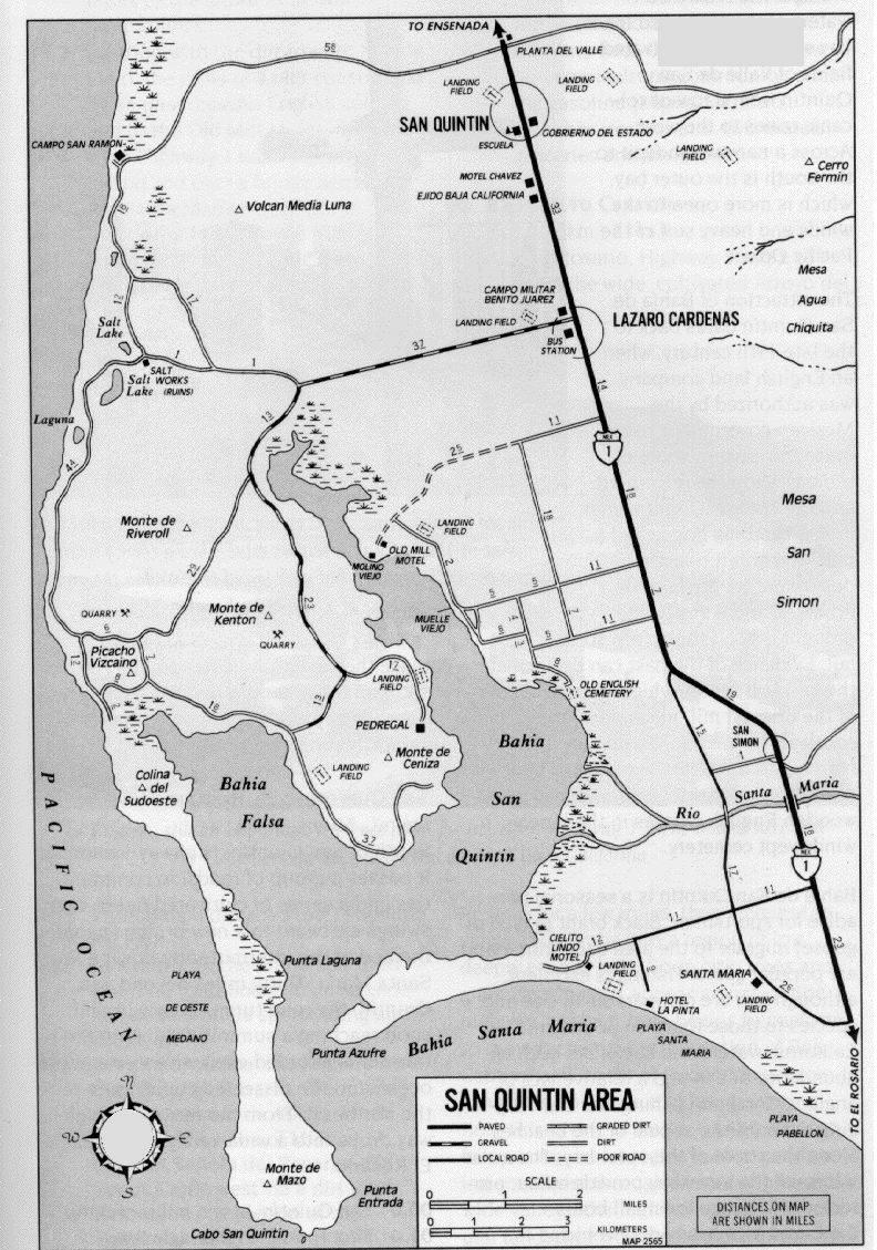
San Quitin Map (~240K)
The put in for the paddle out to the island is off the undeveloped shores of east of San Quintin. San Quitin is a rather bustling (for Baja) town of 22,000. Like many of the towns along the Pacific in northern Baja it is centered along the highway. While the main object of our trip was the island San Quintin also has a very interesting bay which we also paddled.
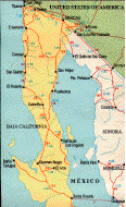
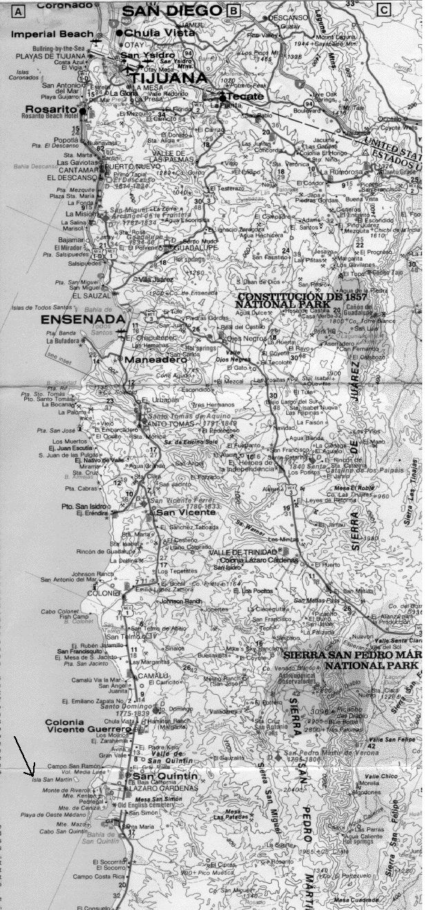
San Quintin is roughly 200 miles south of San Diego (road map ~300K). For driving in Baja you should pick up a copy of the AAA Baja book and Baja map which contains a lot of useful information.
The roads to the put-in can be done with a standard passenger car, with patience and caution, beware of deep sand on the smaller roads. A truck would be nice but I made it in my station wagon.
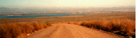
Road, facing the bay
We launched from the beaches just south of the fishing village "Picacho Vicaino" or just over the spit that seperates the head of Bahia Falsa from the Pacific.
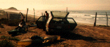
Unloading
Next Page